Around Tilburg 8: OZO (Moergestel, Holy Oak, Haghorst, Trappists)
Tilburg, North Brabant, The Netherlands
Cycling route: 295304
Provided by: Boudewijn Waijers, Utrecht (NL)
02:38 h
Description
The route starts and ends at Tilburg station.
First we follow the railway line in an easterly direction, but after crossing the Ringbaan Oost with a viaduct, we descend towards the Wilhelmina Canal. We cross the bridge to café-restaurant Zomerlust. A few hundred meters further on you will see a work of art on your right, which marks the place where the Moerenburg farm used to be.
We continue and weave under the highways. We make a sharp turn back, follow the spruce road for a while, between Galgeven, Keelven and Schaapsven. At the built-up area of Moergestel we turn left, until a Maria chapel , where we drive back along the Putven towards Moergestel.
Before we arrive in Moergestel, we turn left again, towards café-restaurant Het Stokske , where there is also a playground for the children. Here we turn right towards the hamlet and café Heiligenboom , where we turn left in the direction of Oirschot. Here we follow the former main road from Tilburg to Eindhoven, where the trucks used to drive from Rotterdam to the Ruhr area. Keep following this road until you reach Spoordonk.
In Spoordonk you cross the Beerze. Here you will find an old water mill , now converted into a café-restaurant. On the other side of Spoordonk turn right, through Lubberstraat, where you cross the highway to Eindhoven. Here you will find yourself in a little-known, old part of Brabant: at the sacred oak of Spoordonk, where justice was already administered hundreds of years ago.
Go a little further, cross the Wilhelmina Canal, and follow it towards Tilburg until you reach the locks at Haghorst. With any luck, a ship will be fired here. In Haghorst there are a few café-restaurants where you can enjoy a meal. Here we cross the canal again and drive to junction 4, in Den Storage. The road winds further to junction 10, in Broekzijde. Here you will find, among other things, a charging point and De Reuselhoeve , where you will find all kinds of activities for children and adults.
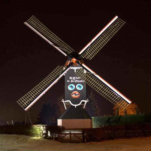
Via the hamlets of Zelt and Vinkenberg we arrive at Moergestel again. This time we do go into the village, past the mill , to the central village square with the church and various cafe-restaurants. There are also a few cafes further on in the village. We leave the village on the west side, where we drive back through the woods in the direction of Tilburg.
On this road you first pass a crucifix; then you will find the abbey of Koningshoeven on your left. Here the Trappists give daily tours of the old brewery at fixed times, there is a souvenir shop and, of course, you can also buy beer. You will also find a tasting room, where you can taste the different types of beer, but where you can also eat or drink something else. You can also attend mass here on Sundays. De Schaapskooi is also located at the abbey, where the monks get milk and wool from.
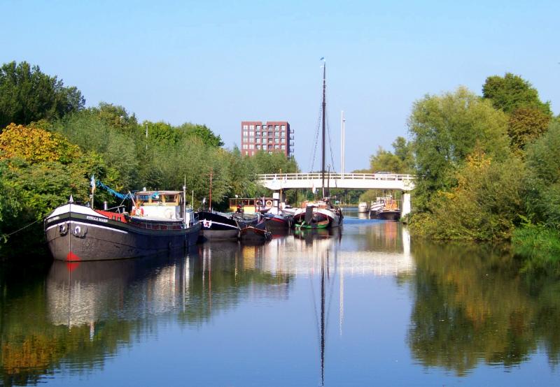
We drive on to Tilburg where we drive over the Wilhelmina Canal and over the Piushaven to the Sint-Josefstraat. The regional archive is located on this street. Finally, we drive past pop temple 013 to the Heuvel, one of the old Frankish triangles from which Tilburg originated, and nowadays the central square of the city, where the Heuvelstraat, the main shopping street of the city, also begins. The Heuvelse or Sint-Josef Church is also located here. We are almost back at the end of our route: Tilburg station.
Height Profile

© Woestenborg

© De Stad Tilburg (wordpress.com)

© Tilburg.com

© Omroep Tilburg

© John Scholte

© Brabants Dagblad
© Quistnix

© Rijkswaterstaat

© Rob Pols

© 't Stokske

© Onbekend

© Zomerlust
© Onbekend

© Onbekend

© nlwandel.nl
You do not want to miss this
Below you will find various suggestions for breaks that you can visit during your route. These are divided into different categories, making it easy for you to choose.
Sights

Directions
| # | Description | Distance | |
|---|---|---|---|
| Tilburg (5038CG, Tilburg, North Brabant, The Netherlands) | 0.00 km | ||
78 | 78 (5018CG, Tilburg, North Brabant, The Netherlands) | 2.37 km | |
13 | 13 (5066CB, Oisterwijk, North Brabant, The Netherlands) | 13.77 km | |
| infopaneel (5066CB, Oisterwijk, North Brabant, The Netherlands) | 13.84 km | ||
| Picknickplaats (Hakkelaren, 5688RW, Oirschot, North Brabant, The Netherlands) | 23.36 km | ||
| Kapel van de Heilige Eik (5688RW, Oirschot, North Brabant, The Netherlands) | 23.47 km |
Reviews
Read the experiences of others below. This way you find out what score the route has received and you can decide whether this route is for you. Have fun!
Embed this page </>
See Routiq in...