Around Tilburg 7: East (Oisterwijkse Vennen, Campina Heide)
Tilburg, North Brabant, The Netherlands
Cycling route: 295303
Provided by: Boudewijn Waijers, Utrecht (NL)
02:13 h
Description
The route starts and ends at Tilburg station. It contains some unpaved but well-ridable sections. These can be avoided; the route becomes shorter as a result.
From the station we drive east, following the railway line to Eindhoven. You are now on one of the oldest cycle paths in the Netherlands, originally leading from Tilburg University in the west to the border of the built-up area of Oisterwijk in the east. The cycle path now continues: follow it along the Voorste Stroom to the centre of Oisterwijk, at junction 16.
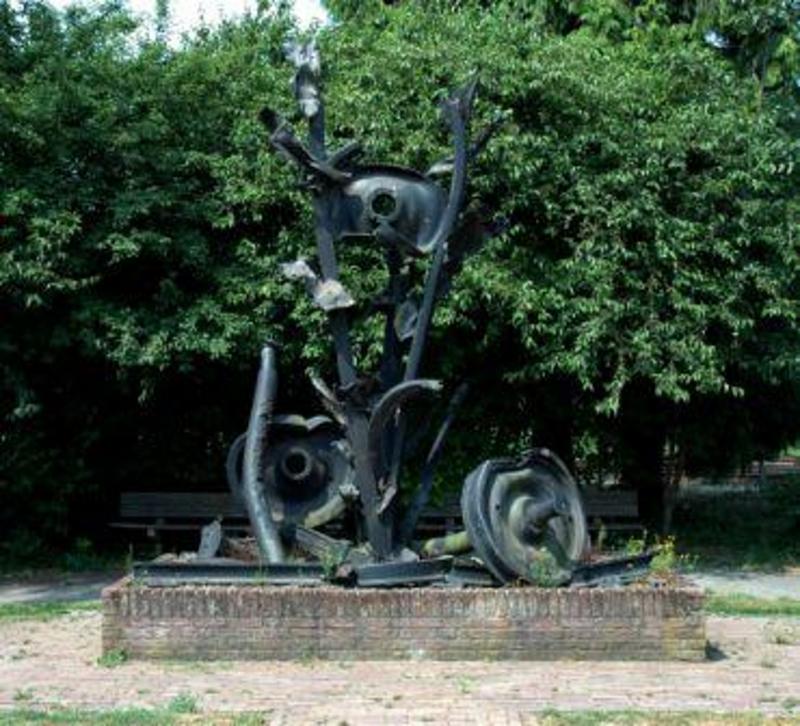
You are now at the beginning of De Lind , the vibrant heart of Oisterwijk. Here you will find numerous shops and catering establishments. We cross De Lind and pass Oisterwijk station , the VVV and a war memorial, before returning to the other end of De Lind. Here you will find the Johanneskerk , a kiosk and the town hall .
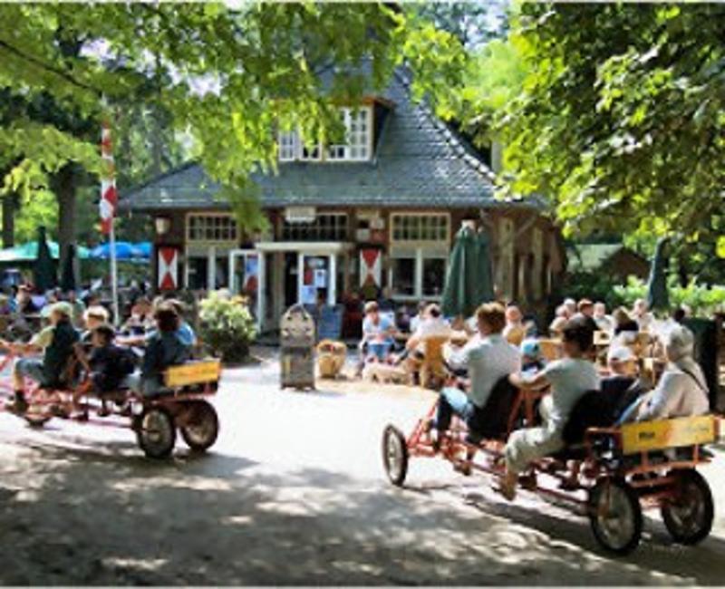
Continuing our way we pass another war memorial. After crossing the Voorste and Achterste Stroom you come to a deer park . Here you turn left. On the Vennelaan there are many recreational facilities, including a Piet Plezier , a midget golf course and a playground .
Here we turn right onto the Adervendreef. On your left you will see the Staalbergven , a natural pool. Follow the Adervendreef until it bends to the right. Here you go straight on. This is an unpaved road. Follow this for a while and then turn left until you reach a paved road again at brasserie De Belvertshoeve , the Scheibaan. Here you turn left. Follow this road until junction 77. If you prefer not to follow unpaved roads, you can also follow the Vennelaan straight on at Piet Plezier until you reach junction 77.
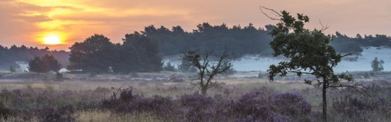
From junction 77, follow the Posthoornseweg towards junction 88. You will pass an information panel. From junction 88, go via junction 45 to junction 87. This route forms the border between the Oisterwijkse Vennen (right) and the Kampina Heide (left). You will also find many fens on the heath.
From junction 87, follow the Fransebaan towards junctions 86 and 22. Here you will find the pancake house De Ontdekking . We continue to junctions 85 (in the hamlet of Heikant) and 79. Here you take a narrow cycle path towards café Boshuis Venkraai . Just before the café you will find the Groot Kolkven on your left.
We continue our way past a pottery to restaurant Kleijn Speijk , after which we drive back south to restaurant Groot Speijk . Here you will also find the visitors centre for the Oisterwijkse Vennen. In the woods to your right is the site of Stichting De Hondsberg for children with a mild intellectual disability.
You drive to junction 14, and from there you take the road to Moergestel . Just before you reach the built-up area, you will see a Maria chapel on your left. Shortly afterwards you turn right onto the Heukelomsebaan. After a few kilometres you will pass the old café Mie Pieters . From here you follow Baaneind, Oisterwijkse Baan and Zandeind, passing under a viaduct twice.
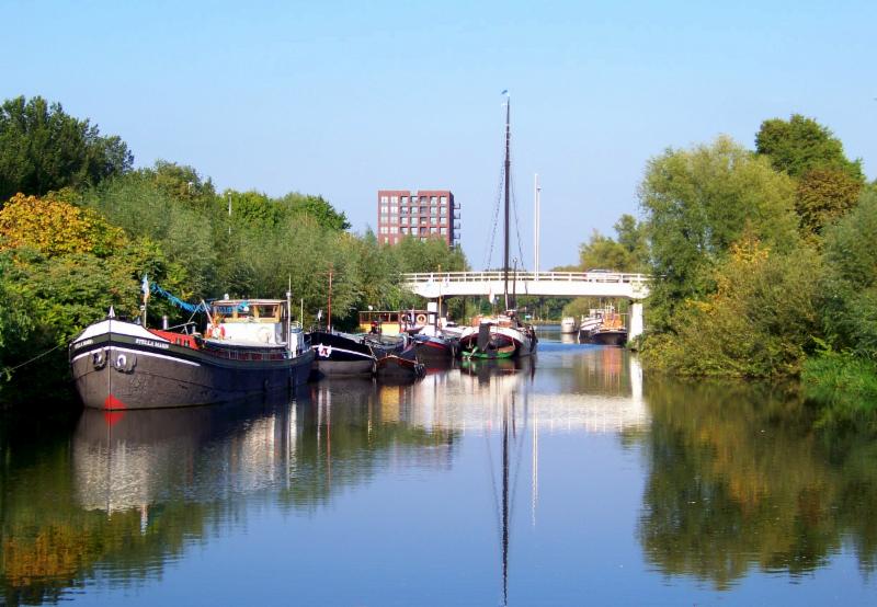
Via the hamlet of Moerenburg and café Zomerlust you finally arrive back in the built-up area of Tilburg via the Wilhelminakanaal. Here the route leads us along the completely renovated Piushaven with marina De Werf and several nice new restaurants.
Passing the palace-town hall of Tilburg, the Heikese Church , the chapel of Our Lady of Need , the tourist office and the Hiroshima monument , you finally return to Tilburg station.
Height Profile
© Onbekend
© Piet Plezier

© Gemeente Tilburg

© Onbekend

© Onbekend

© Onbekend
© Onbekend

© Stichting 4 en 5 mei

© Onbekend

© Schouwburg Tilburg

© Concertzaal Tilburg

© Hertenkamp Oisterwijk

© Albert y Mara

© Gemeente Oisterwijk

© Comité 4 en 5 mei
© Comité 4 en 5 mei

© trapmans.net

© nlwandel.nl
Start here your cycling route
You probably can't wait to start your tour, but you have to go to the starting point of the route first. Click the button below to plan your route to the starting point.
Your starting point
Tilburg
5038CG TilburgParkeerplaats
Stationsstraat5038EB Tilburg
VVV Info in Tilburg
Stationspassage 335038CB Tilburg
+31 (0)133 03 41 01
Send an email
Visit the website
Tilburg
5038CG TilburgOplaadpunt
Zomerlust5018TG Tilburg
You do not want to miss this
Below you will find various suggestions for breaks that you can visit during your route. These are divided into different categories, making it easy for you to choose.

Sights
Directions
| # | Description | Distance | |
|---|---|---|---|
| Tilburg (5038CG, Tilburg, North Brabant, The Netherlands) | 0.00 km | ||
90 | 90 (5059AR, Oisterwijk, North Brabant, The Netherlands) | 5.53 km | |
| oisterwijk ('t Stationneke, 5061HG, Oisterwijk, North Brabant, The Netherlands) | 9.15 km | ||
| VVV Oisterwijk (5061, Oisterwijk, North Brabant, The Netherlands) | 9.47 km | ||
| Monument Munitietrein (5061HR, Oisterwijk, North Brabant, The Netherlands) | 9.65 km | ||
| Oorlogsmonument Gevleugelde Vrijheid (Gemullehoekenweg, 5061MA, Oisterwijk, North Brabant, The Netherlands) | 9.97 km |
Place name directory
Reviews
Rated stars out of 5
Read the experiences of others below. This way you find out what score the route has received and you can decide whether this route is for you. Have fun!
Embed this page </>
See Routiq in...