Around Tilburg 6: ENE (Udenhout, Leemkuilen, Haaren, Oisterwijk)
Tilburg, North Brabant, The Netherlands
Cycling route: 295302
Provided by: Boudewijn Waijers, Utrecht (NL)
02:07 h
Description
The route starts and ends at Tilburg station. We leave in an easterly direction, staying as close as possible to the railway line to Eindhoven. After crossing the Wilhelmina Canal we turn left, under the railway. A little further on we turn left again and follow the Enschotsebaan.
In Enschot we go straight ahead at the Caeciliakerk (here is café-restaurant De Riddershoeve ). Following the road we come to a T-junction where we turn left and pass café Het Raadhuis . Following this road we pass the former monastery of the Trapistines in Berkel. The sisters moved to a new monastery in Arnhem in 2009; the old abbey is now being redeveloped into the new village center of Berkel-Enschot.
We continue the route on the other side of the railway line and drive over Slimstraat into Udenhout. There are several cafes and restaurants here. You will see the church on your right; A little further on you will find the old town hall of Udenhout at the intersection with Kreitenmolenstraat.
Here we make a small excursion to the left. There you will find Huize Vincentius (for people with an intellectual disability) on your right. A few hundred meters further on you will see De Strijdhoeve Castle on your right (actually a large mansion with a moat and accompanying estate). The Strijdhoeve cannot be visited.
We turn around again and go straight ahead at the old town hall towards Oisterwijk. Just past the level crossing, turn left at the roundabout. Follow the Molenbaantje. You will arrive at De Leemkuilen , a nature reserve managed by the Brabant Landscape. Until 2010, loam was extracted here for the manufacture of bricks.
We cross the highway to Den Bosch and drive to Haaren. You drive through one of the most important tree growing areas in the Netherlands. In Haaren you will find a war memorial, a tourist office, some eateries and some picnic areas. Nemerlaer Castle is located near a pancake house on the estate of the same name. The castle is still inhabited, but is open on Sundays for guided tours (or by appointment for groups).
We drive on to Oisterwijk . In the center you will find some war monuments, and on De Lind you will find the town hall and a kiosk. At De Lind you will find the Johanneskerk and many opportunities to enjoy a snack or a drink. We also pass the tourist office and Oisterwijk station. We cross the railway line and drive past the Kerkhovense Molen .
From here we drive to the hamlet of Heukelom , where we eventually cross the railway line again and immediately turn right at junction 90. You now follow the railway line which leads you back to Tilburg station where we started our tour.
Height Profile

© Albert y Mara

© Gemeente Oisterwijk

© Comité 4 en 5 mei
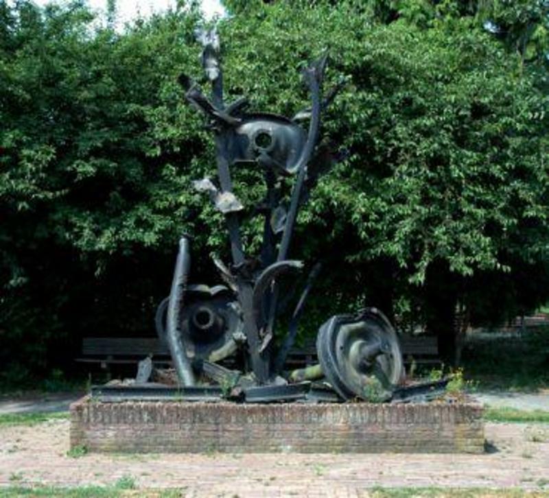
© Comité 4 en 5 mei

© M.H.B. Verkuijlen

© newporter.nl

© inbo.com

© historietilburg.nl

© C. van der Meijden

© nlwandel.nl
You do not want to miss this
Below you will find various suggestions for breaks that you can visit during your route. These are divided into different categories, making it easy for you to choose.
Sights

Directions
| # | Description | Distance | |
|---|---|---|---|
| Tilburg (5038CG, Tilburg, North Brabant, The Netherlands) | 0.00 km | ||
| De Strijdhoef (5071, Tilburg, North Brabant, The Netherlands) | 9.41 km | ||
96 | 96 (Nachtegaallaan, 5074MD, Haaren, North Brabant, The Netherlands) | 13.99 km | |
| Picknickplaats (Leemputten, 5074NA, Haaren, North Brabant, The Netherlands) | 14.50 km | ||
| Oorlogsmonument Engelbertus Witlox (5076CV, Haaren, North Brabant, The Netherlands) | 18.63 km | ||
| Picknickplaats (Broederspaadje, 5076PM, Haaren, North Brabant, The Netherlands) | 19.47 km |
Place name directory
Reviews
Read the experiences of others below. This way you find out what score the route has received and you can decide whether this route is for you. Have fun!
Embed this page </>
See Routiq in...