Kromme Rhine Route 9: Niënhof
Bunnik, Utrecht, The Netherlands
Hiking route: 3622168
Provided by: Marijke, Utrecht
01:17 h
Description
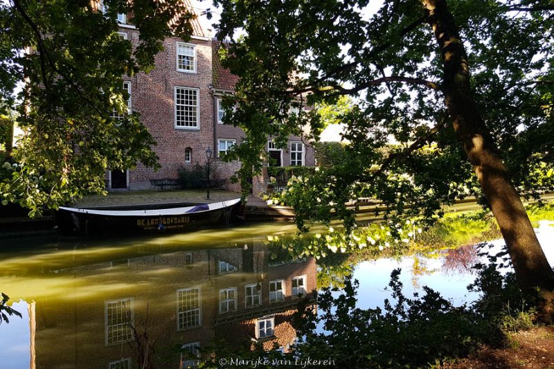
Along the Kromme Rijn you can take a 29 km walk from Wijk bij Duurstede to Utrecht, which is largely along the towpath along the river. That's a bit of a walk. But you can also divide the entire route into stages and make circular walks. This year, 2022, marks 900 years since the Kromme Rijn was dammed. A great reason to walk around Kromme Rijn every month. The ninth circular walk of 5 km starts at the parking lot of the Niënhof estate and follows the Ring Snake Route of the Utrecht Landscape plus the bend in the Kromme Rijn between Niënhof and Fort bij Rhijnauwen. You walk through a forest with tall ash trees, over a geological monument, past meadows and an ash coppice. Once you arrive at Bunnik, the walk continues along the Kromme Rijn, largely close to the river or a side channel. You follow the walking junctions 43-(posted grass snake route)-45-42-37-87-43.
Tour tip; Hiking with kids! Routes up to 5 km are ideal
Height Profile
Directions
| # | Description | Distance | |
|---|---|---|---|
43 | 43 (3981KH, Bunnik, Utrecht, The Netherlands) | 0.00 km | |
45 | 45 (3981EM, Bunnik, Utrecht, The Netherlands) | 1.64 km | |
42 | 42 (3981GE, Bunnik, Utrecht, The Netherlands) | 2.30 km | |
37 | 37 (3981JG, Bunnik, Utrecht, The Netherlands) | 3.57 km | |
87 | 87 (Rijnsoever, 3981HJ, Bunnik, Utrecht, The Netherlands) | 4.68 km | |
43 | 43 (3981KH, Bunnik, Utrecht, The Netherlands) | 5.14 km |
Place name directory
Reviews
Read the experiences of others below. This way you find out what score the route has received and you can decide whether this route is for you. Have fun!
Embed this page </>
See Routiq in...