Around Tilburg 1: West (Reeshof, water extraction area)
Tilburg, North Brabant, The Netherlands
Cycling route: 294858
Provided by: Boudewijn Waijers, Utrecht (NL)
01:51 h
Description
The route starts and ends at Tilburg Reeshof station. There is also plenty of free parking for your car here.
We start in a north-westerly direction, following the catchment area of the Donge river for some time, through a nature reserve located in the middle of the De Reeshof district. We follow the Donge to the Wilhelmina Canal , which we then follow westwards for some time.
Now we turn left and drive for some time through the arable land between Tilburg, Rijen and Hulten. After crossing the railway line to Breda we arrive at café-restaurant Stad Parijs (10.8 km). From here we continue in a south-westerly direction, through typical Brabant arable land.
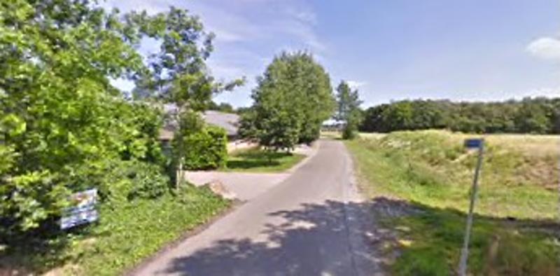
A little later we turn left and arrive in the water extraction area of Tilburg. This is a forest area in which the Brabant Water pumping station is located. The groundwater for Central Brabant is pumped here, but the bottled water from Prize d\\\'Eau is also bottled.
We continue our journey on the so-called Bels Lijntje , the former railway line to Turnhout, now a tourist cycle path. Where this railway line used to connect to the railway line to Breda, we cross that railway line and turn right a little further.
On your left is the freely accessible Wandelbos , including a petting zoo, a pond, and a freely accessible playground. On your right you will find café and playground De Zeven Geitjes (19 km) and Bosvreugd cultural forest. We continue our way east past café-restaurant Boerke Mutsaers (20.5 km), located at Tilburg University station.
We follow the railway line for a while and arrive at the Bokhamer , one of the oldest surviving parts of Tilburg from the time when it was still a group of hamlets that had grown together. We make a turn to the left, pass the Suleymaniye mosque , and arrive at the Reitse Hoevestraat. On the right you will see some old workers' houses (weavers' houses). On the left you see the Tongelose Hoeve , better known in Tilburg as the Reitse Hoeve , a national monument from the 17th century. It is located opposite ROC De Rooi Pannen , located in a former minor seminary. If we continue along the route we pass the De Oliemeulen reptile house .
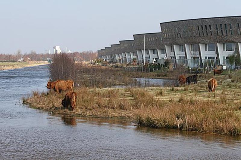
We continue past the Hasseltse Kapel and the Twee Stedenziekenhuis, towards the Wilhelminakanaal, which we follow westwards for some time, and continue our ride through De Reeshof, passing the old café De Kievitshoeve (28.6 km). This café used to be located in the middle of a farming landscape, but nowadays it is located in the middle of the new De Reeshof district. Shortly after this relaxation we are back at our starting point, Tilburg Reeshof station.
Height Profile

© tilburg.com

© Jan Korpershoek

© Corry

© Pieter en Marianne van de Sande

© Google Street View

© Averho

© Google Street View
© Google Street View
© Thebus
Directions
| # | Description | Distance | |
|---|---|---|---|
| tilburg reeshof (Reeshofweg, 5036BL, Tilburg, North Brabant, The Netherlands) | 0.00 km | ||
39 | 39 (5045AZ, Tilburg, North Brabant, The Netherlands) | 5.22 km | |
54 | 54 (Hultenseweg, 5032PJ, Tilburg, North Brabant, The Netherlands) | 11.88 km | |
9 | 9 (5032VC, Tilburg, North Brabant, The Netherlands) | 18.71 km | |
10 | 10 (Bredaseweg, 5036NA, Tilburg, North Brabant, The Netherlands) | 19.54 km | |
61 | 61 (5044VK, Tilburg, North Brabant, The Netherlands) | 20.87 km |
Place name directory
Reviews
Read the experiences of others below. This way you find out what score the route has received and you can decide whether this route is for you. Have fun!
Embed this page </>
See Routiq in...