Round Ruighoek and the Noorderpark
Utrecht, Utrecht, The Netherlands
Hiking route: 2078745
Provided by: M.Michels, Flevoland
02:47 h
Description
Noorderpark Ruigenhoek,
is the area between the Gageldijk, Burgemeester Huydecoperweg, Kooijdijk and Koningin Wilhelminaweg, north of the Overvecht district in Utrecht. You will find beautiful nature, fortresses, bunkers, polder landscape.
Trips:
You can extend the wandering by taking a trip to:
1 Fort de Gagel. Then walk at node 34 to 33 and then via 35 to node 36, which puts you back on the original route (the route is extended by 1.1 km).
2) To Fort De Blauwekapel. Walk from the parking lot to junction 22 from to 23 to 24 and on to the Fort and back to the parking lot via junctions 64 , 22, 21. (the route is extended by 2.4 km) .
Information about:
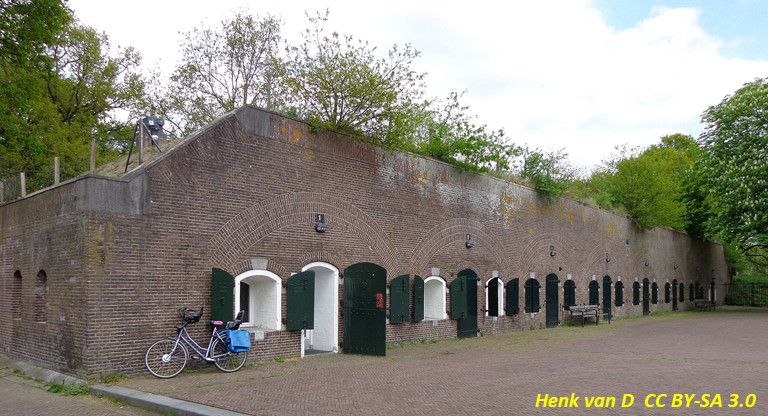
Fort Ruigenhoek click here !
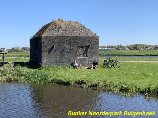
The bunkers group shelters Type P Noorderpark
Fort de Gagel click here !
Fort de Blauwekapel click here !
The route and trips shown in Google Maps
The area is part of the Green Heart and the New Dutch Waterline, the largest national monument in the Netherlands, which has been nominated to become a UNESCO World Heritage Site.
Height Profile
Directions
| # | Description | Distance | |
|---|---|---|---|
| 3737BG, Utrecht, Utrecht, The Netherlands | 0.00 km | ||
41 | 41 (crossbaan, De Bilt, Utrecht, The Netherlands) | 0.64 km | |
42 | 42 (3737MS, De Bilt, Utrecht, The Netherlands) | 1.64 km | |
43 | 43 (3737MS, De Bilt, Utrecht, The Netherlands) | 1.66 km | |
44 | 44 (3566, De Bilt, Utrecht, The Netherlands) | 1.92 km | |
48 | 48 (3737 MN, De Bilt, Utrecht, The Netherlands) | 3.06 km |
Place name directory
Reviews
Read the experiences of others below. This way you find out what score the route has received and you can decide whether this route is for you. Have fun!
Embed this page </>
See Routiq in...